
3D Mapping & Surveying
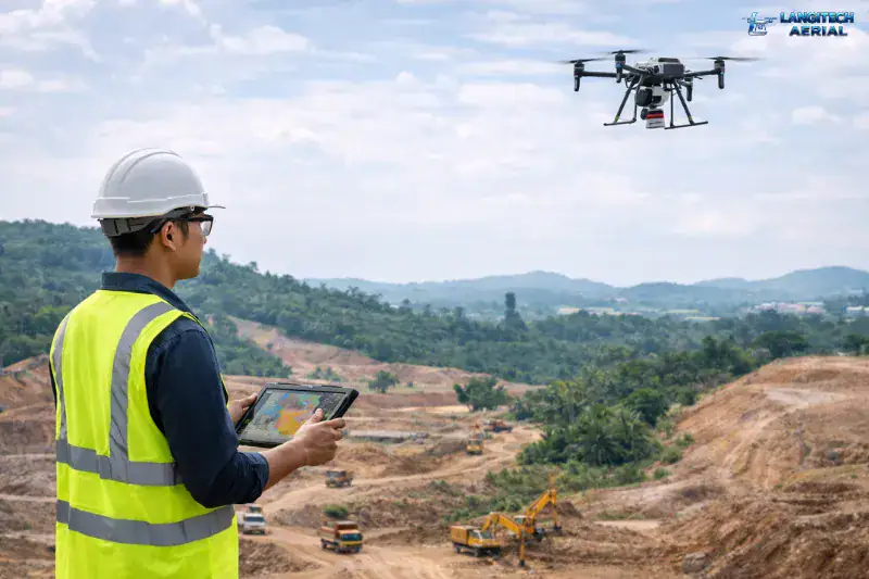
If you have spent any time managing a Malaysian construction site, you already know the standard workflow. You get a ground survey done at the very beginning, maybe another one at a few major milestones, and a final one at handover.
Everything that happens in between relies on site walks, manual tape measurements, and a lot of subjective judgment calls about how much earth has actually moved.
That old-school workflow is expensive. It leads to endless disputes over earthworks quantities, messy claims for variations, and delayed payment certifications because the raw data to back up a claim simply isn’t there. Most of these headaches boil down to one thing: a lack of frequent, reliable site data.
This isn’t a pitch to buy flashy new technology just for the sake of it. This is a practical breakdown of how drone mapping construction Malaysia services actually fit into your daily workflow and where they genuinely earn their keep.
The Core Problem: Traditional Surveys Are Too Slow
Manual topographic surveys using total stations and GPS rovers produce highly accurate data, but they are incredibly slow. Surveying a 10-hectare site on foot can take a crew several days. By the time that data is processed, drawn up, and delivered to your desk, the site conditions have already changed.
If you are running a project with active earthworks, data that is two weeks old is useless for making decisions today.
A commercial drone survey can cover that exact same 10-hectare site in under two hours. The processed data—orthomosaic maps, digital elevation models (DEM), and contour lines—is typically sitting in your inbox the very next business day. If you run this weekly, you suddenly have a continuous, timestamped, undeniable record of every single cut and fill across your site.
The 5 Biggest Use Cases in Malaysian Construction
1. Pre-Construction Topographic Surveys
Before the first excavator arrives, you need an accurate picture of the ground: elevations, drainage patterns, and vegetation. A drone survey completed in a single morning produces contour maps (at 0.5m or 1m intervals) that feed directly into AutoCAD Civil 3D for your consultants. Compared to foot surveys on massive sites, drones mobilize faster and give you a complete 3D surface model, not just a few spot elevations.
2. Earthworks Volume Calculations (The Money Saver)
Cut-and-fill calculations are where drone mapping pays for itself almost immediately. Earthworks contractors are paid based on the volume of dirt moved, and disputes over these numbers happen on almost every project.
Regular drone surveys give you a defensible, independent record of exact volumes at every measurement period. It also catches over-excavation early. If your design calls for 50,000 cubic meters of cut, and your Week 4 drone survey shows 65,000 cubic meters already gone, you can stop the bleeding before your site supervisor even writes their weekly report.
3. Weekly Progress Monitoring
For developers juggling multiple active projects across the Klang Valley or beyond, a drone program replaces vague site walk notes with hard visual data. The orthomosaic map shows exactly what has been completed and where contractors are lagging behind schedule. When reviewing progress claims, your consultants don’t have to blindly trust the contractor’s measurements—they have a high-res visual record to verify against.
4. As-Built Documentation
Malaysian local authorities and infrastructure concessionaires demand as-built surveys for drainage, roads, and utilities. A drone-based as-built survey is faster than traditional methods and captures the entire site in context. For housing developers, having a complete elevation record of every phase is a lifesaver when managing strata title applications or dealing with post-completion boundary disputes.
5. Slope Monitoring & DOSH Compliance
If you are building in hilly terrain (common across Selangor, Pahang, and East Malaysia), you have strict slope stability requirements under the Department of Occupational Safety and Health (DOSH) guidelines. Regular drone surveys track elevation changes to detect slope movement early, without sending workers out onto unstable ground. It provides exactly the kind of paper trail DOSH inspectors want to see.
What Deliverables You Should Actually Ask For
Not all drone operators deliver the same outputs. If you are hiring a crew for a construction site, this is the minimum standard you should demand:
- Georeferenced Orthomosaic: At 3–5cm GSD (ground sample distance).
- Digital Elevation Model (DEM): Or a Digital Terrain Model (DTM).
- Contour Maps: At 0.5m or 1m intervals, depending on the job.
- Volume Calculation Reports: Showing a direct comparison to the previous survey.
- Point Cloud Data: In .LAS or .LAZ format for easy import into Civil 3D.
Note: For legally sensitive boundary surveys or planning submissions, you will still need a licensed land surveyor to certify the data alongside the drone output.
How to Budget for It
For a straightforward site under 20 hectares in accessible terrain, a one-off drone survey (including the orthomosaic and DEM) typically ranges from RM1,500 to RM3,500.
If you want a weekly monitoring program for an active site, expect to pay around RM1,000 to RM2,200 per visit on a monthly retainer.
The ROI calculation here is a no-brainer. Preventing just one earthworks dispute, avoiding one variation claim, or catching over-excavation early usually covers months of survey costs. The price of the data is a drop in the bucket compared to the massive construction costs it protects.
Planning a new development or struggling to manage an active site? Send the LangiTech Aerial team your location, size, and what deliverables you need. We’ll put together a custom survey scope that fits your project timeline perfectly.
Need Help Planning a Compliant Drone Project in Malaysia?
Speak with our team about commercial drone operations, compliance requirements, and the right aerial solution for your project.