
3D Mapping & Surveying
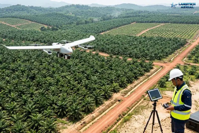
Managing massive government-linked plantations is a logistical nightmare. If you manage an 855,000-hectare portfolio, conventional ground patrols are practically useless. Therefore, a professional drone survey FELDA Malaysia program is rapidly becoming the industry standard.
This technology helps massive agencies—like RISDA, FELCRA, and various state authorities—monitor huge, geographically dispersed landholdings. This guide explains exactly how aerial mapping solves your biggest replanting, encroachment, and monitoring challenges.
1. Replanting Planning and Digital Block Documentation
FELDA and RISDA estates require strict, periodic replanting. Usually, oil palm stands lose their economic viability after 25 to 30 years. To plan a massive replanting operation, you need highly accurate, up-to-date maps. You must know your exact palm counts, access roads, and drainage structures.
Unfortunately, much of this critical information currently exists only on decaying paper maps. Furthermore, older FELDA schemes rely heavily on the fading institutional knowledge of retiring estate staff.
Fortunately, a drone orthomosaic map creates a perfect, high-resolution digital record. This aerial data feeds directly into your replanting design and contractor tendering process. Ultimately, it costs a fraction of what traditional ground survey teams charge. (Note: For official legal boundaries, you must still follow strict JUPEM cadastral guidelines. However, drones are perfect for broad estate planning).
2. Halting Illegal Land Encroachment
Land encroachment constantly threatens valuable agricultural borders. Specifically, squatters, illegal farming conversions, and boundary disputes regularly plague remote areas. Furthermore, state land offices constantly fight illegal clearing near gazetted forest reserves in Pahang, Kelantan, and Borneo.
Therefore, a routine government land drone survey Malaysia program provides the ultimate defense. Regular aerial surveys capture undeniable, georeferenced photographic evidence of your exact boundaries. Consequently, this makes it incredibly easy for enforcement officers to identify and prosecute illegal encroachment quickly and decisively.
3. Boosting Yields with a Smallholder Estate Drone Program
Agencies like RISDA provide vital technical support to individual rubber and oil palm farmers. Usually, a single 5-acre plot cannot justify the massive cost of an exclusive drone flight.
However, cooperative mapping changes the financial math entirely. By grouping multiple adjacent plots together, a smallholder estate drone program becomes highly cost-effective. During these massive flights, multispectral drones capture crucial crop health data. Consequently, extension officers instantly see exactly which smallholder plots suffer from severe nutrient deficiency or pest pressure. Then, they can direct their technical assistance exactly where it is needed most.
4. Navigating Strict Government Procurement Rules
If you want to provide commercial drone services in this space, you must understand strict government procurement procedures. FELDA and its subsidiaries exclusively procure services through formal, highly structured tender processes. Meanwhile, RISDA and FELCRA utilize their own distinct frameworks.
Furthermore, data handling requirements are incredibly strict. The government agency outright owns all the survey data. Additionally, they dictate extremely specific data storage and reporting formats. You must clarify all these strict compliance rules before your drone ever leaves the ground.
Need Help Planning a Compliant Drone Project in Malaysia?
Speak with our team about commercial drone operations, compliance requirements, and the right aerial solution for your project.