
 3D Mapping & Surveying
Drone Topographic Survey Malaysia: How It Works and What Developers Get
A drone topographic survey Malaysia gives developers, civil engineers, and project managers a detailed, accurate picture of a…
 3D Mapping & Surveying
Multispectral Mapping Malaysia: The Crop Health Guide for Estate Managers
Multispectral mapping Malaysia gives plantation managers and agronomists the ability to see crop stress, nutrient deficiency, disease outbreaks,…
 3D Mapping & Surveying
LiDAR Drone Survey Malaysia: When to Use It and What Your Project Gets
A LiDAR drone survey Malaysia operation gives engineers and project managers something photogrammetry cannot — accurate ground terrain…
 3D Mapping & Surveying
UAV Mapping Malaysia vs Traditional Survey: Which Is Right for Your Project?
UAV mapping Malaysia has fundamentally changed how developers, engineers, and project managers collect spatial data. Where a traditional…
 3D Mapping & Surveying
Photogrammetry Malaysia: How It Works and What Your Project Gets
Photogrammetry Malaysia is the standard method that engineers, surveyors, and developers use to turn drone imagery into accurate,…
 3D Mapping & Surveying
Drone Survey Malaysia: Guide for Developers and Project Managers
Drone survey Malaysia has become the go-to method for developers, engineers, and project managers who need fast, accurate…
 3D Mapping & Surveying
Drone Mapping Malaysia: The Complete Guide for Developers, Engineers, and Project Managers
Drone mapping Malaysia has become one of the most practical tools available to construction teams, plantation managers, infrastructure…
 3D Mapping & Surveying
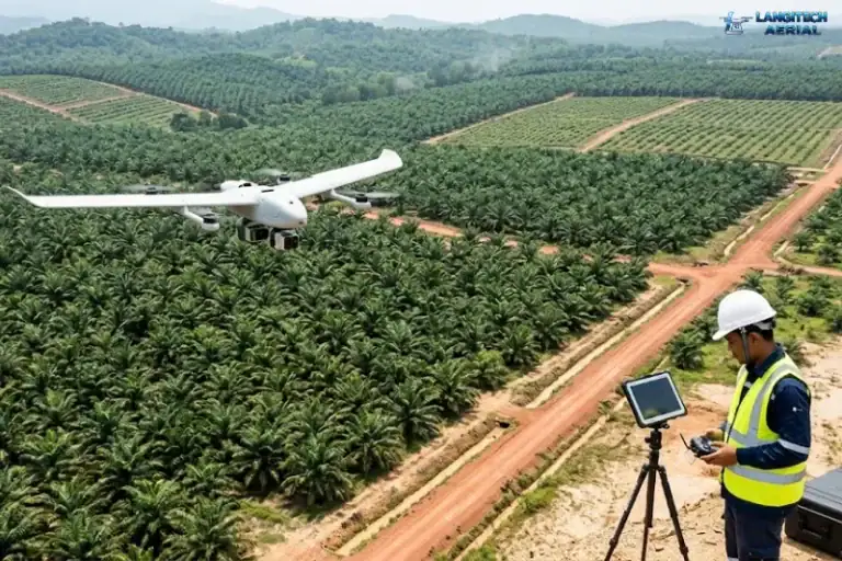
Drone Surveys for FELDA, Government Land and Smallholder Estates in Malaysia
Managing massive government-linked plantations is a logistical nightmare. If you manage an 855,000-hectare portfolio, conventional ground patrols are…
 3D Mapping & Surveying
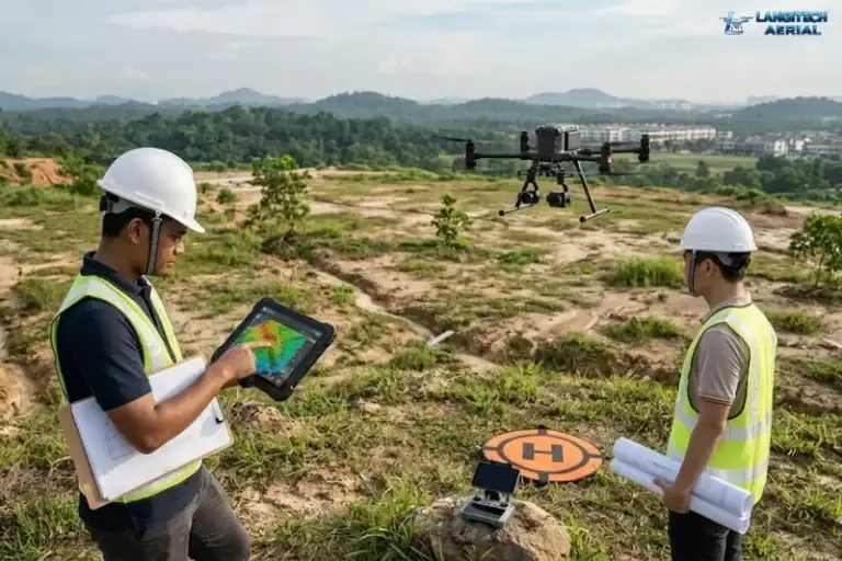
Drone Land Survey in Malaysia: What Developers Need Before They Break Ground
Every year, Malaysian developers find expensive problems on land they have just bought. Slope instability that nobody caught…
 3D Mapping & Surveying
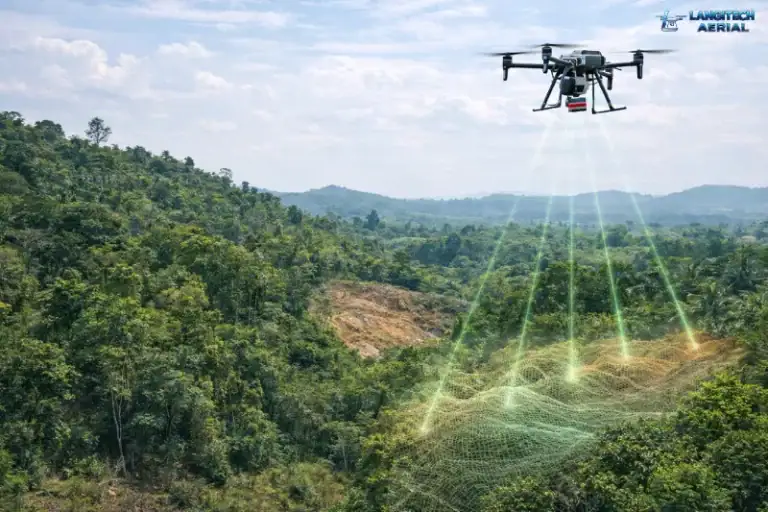
LiDAR vs Photogrammetry for Drone Surveys in Malaysia: Which One Does Your Project Actually Need?
If you have been collecting quotes for drone surveys in Malaysia, you have almost certainly run into two…