
 3D Mapping & Surveying
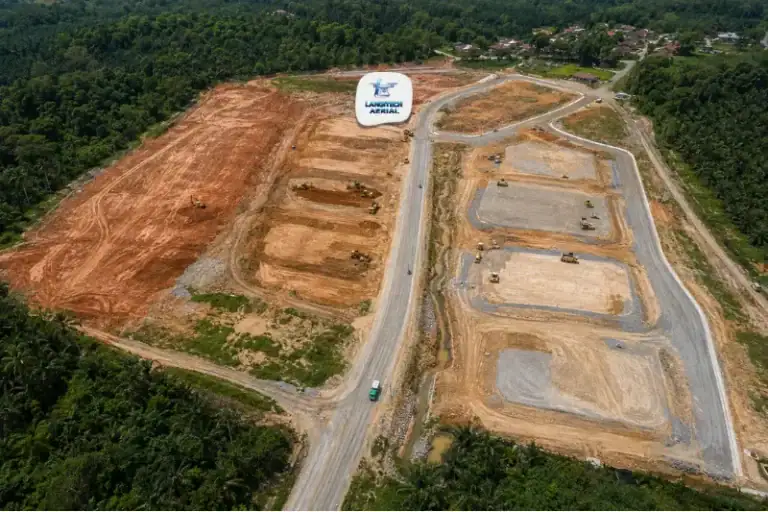
Drone Land Development Malaysia: The Developer’s Complete Survey Guide
Drone land development gives property developers, project managers, and civil engineering consultants accurate spatial data at every stage…
 3D Mapping & Surveying
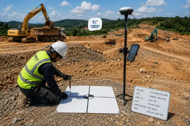
RTK Drone Survey Malaysia: Accuracy, Methods, and When You Need It
RTK is the question engineers, developers, and project managers ask most before commissioning a drone mapping project. In…
 3D Mapping & Surveying
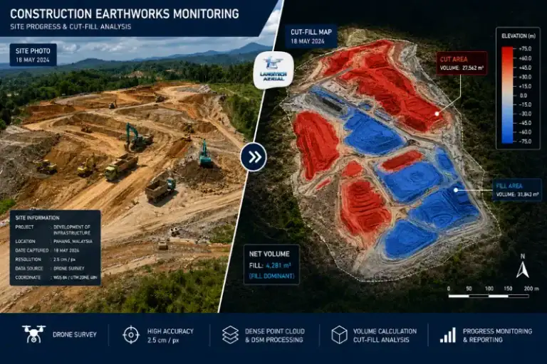
Drone Cut Fill Malaysia: The Earthworks Survey Guide for Project Managers
Drone cut fill gives construction project managers, quantity surveyors, and JKR engineers an accurate, independent measurement of earthworks…
 3D Mapping & Surveying
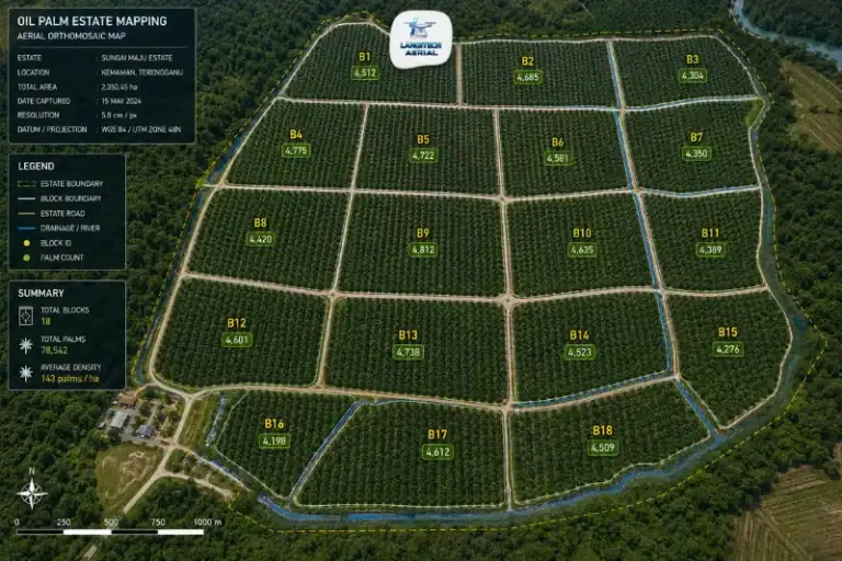
Drone Oil Palm Mapping Malaysia: The Estate Intelligence Guide
Drone oil palm mapping gives estate managers a complete aerial picture of the plantation. It covers far more…
 3D Mapping & Surveying
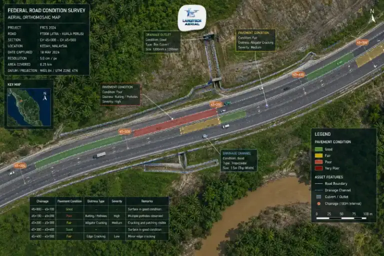
Drone Road Survey Malaysia: The JKR and Highway Manager’s Guide
Drone road survey gives JKR engineers, highway concessionaires, and road construction project managers accurate spatial data along road…
 3D Mapping & Surveying
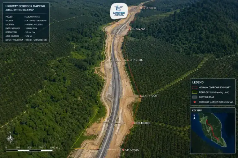
Drone Corridor Mapping Malaysia: Infrastructure Survey Guide
Drone photogrammetry is the technology behind most commercial drone mapping in Malaysia. It turns hundreds of aerial photographs…
 3D Mapping & Surveying
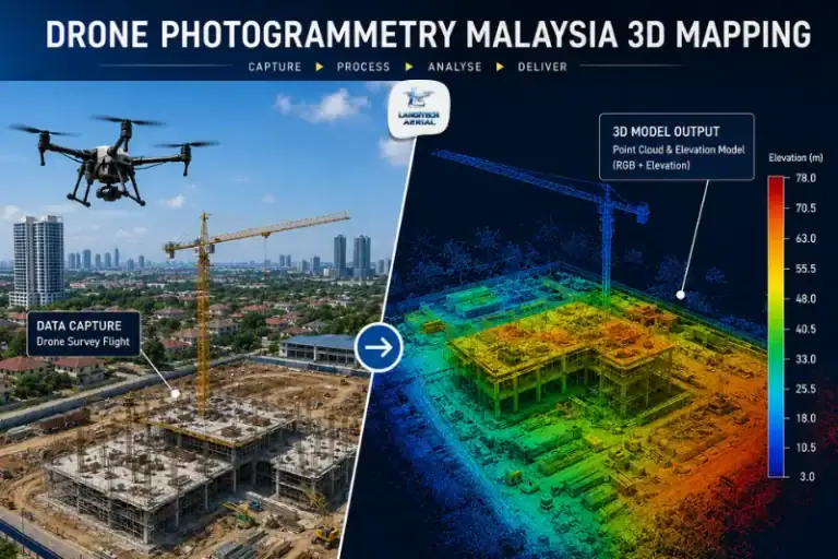
Drone Photogrammetry Malaysia: The Complete Technology Guide for Engineers and Developers
Drone photogrammetry is the technology behind most commercial drone mapping in Malaysia. It turns hundreds of aerial photographs…
 3D Mapping & Surveying
Drone Progress Monitoring Malaysia: The Construction Manager’s Guide
Drone progress monitoring in Malaysia gives project managers, developers, and quantity surveyors an objective aerial record of construction…
 3D Mapping & Surveying
Drone Flood Mapping Malaysia: The Complete Guide for Disaster Response and Flood Management
Drone flood mapping gives government agencies, engineering consultants, and infrastructure managers the spatial data they need to respond…
 3D Mapping & Surveying
Drone Stockpile Measurement Malaysia: The Quarry and Construction Manager’s Guide
Drone stockpile measurement Malaysia gives quarry operators, construction managers, and industrial teams a fast, accurate way to calculate…